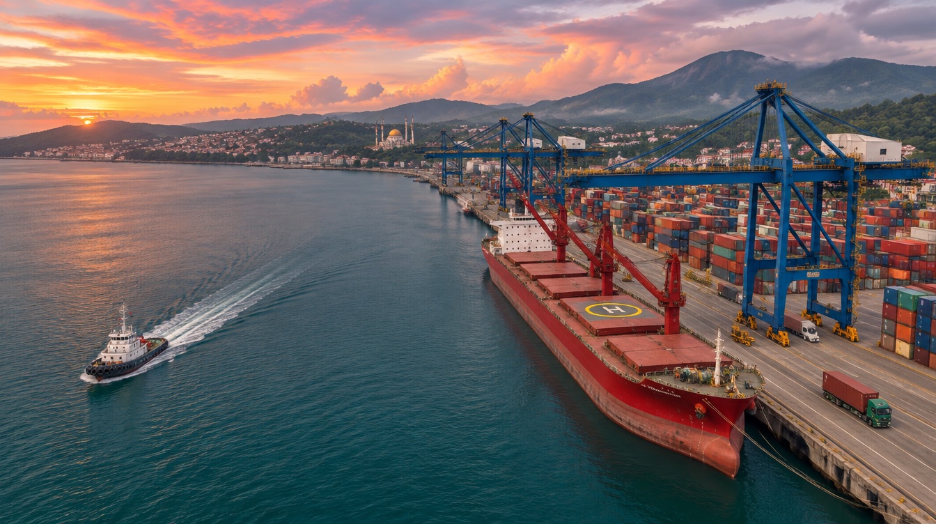
The gateway of Sumatra
Lampung as a strategic province at the southern tip of the island of Sumatra, which is endowed with natural wealth on land and in the ocean.
Strategic location
Lampung has the advantage of being a logistics hub or an international maritime axis.
Lampung is part of the Global Logistics Support System, strategically connecting the Indian Ocean, the South China Sea, and the Asia-Pacific region. This trade route facilitates international trade flows between Asia-Pacific, Europe, and the Americas.
Travel times
| Route | Mode | Distance | Time |
|---|---|---|---|
| Bandar Lampung → Bakauheni Seaport | road | 96.5 km | 50 min |
| Bakauheni Seaport → Merak Seaport | ferry | 27 km | 60 min |
| Merak Seaport → Jakarta | road | 109.97 km | 110 min |
| Bandar Lampung (TKG, Radin Inten II) → Jakarta (CGK) | air | 190 km | 45 min |
Source: FOILA 2026 p.4
Infrastructure & connectivity
Seaport, airport, toll road and freight rail are in place — with spare capacity.
Port Railway Connection
A freight route handling 28 million tons of cargo (up to 45 million tons)
Investment opportunity: Prabumulih–Tegineneng double-track railway (IDR 37 trillion)
Source: FOILA 2026 p.5
Radin Inten II Airport
Transforming into an Aerocity (45 minutes Lampung–Jakarta)
Handling 8,846 flight movements, over 1 million passengers and 1.45 million units of cargo (as of October 2026). Operator logo: Angkasa Pura II
Source: FOILA 2026 p.5
Panjang Port
Gate of Sumatera to global maritime trade
Total capacity 560,000 TEUs; current utilization only 128,000 TEUs (23%)
Source: FOILA 2026 p.5
Trans Sumatera Highway
The road spans 252 km, connecting Sumatra
Source: FOILA 2026 p.5
Bakauheni Seaport
Bakauheni–Merak crossing 60 minutes (27 km)
Source: FOILA 2026 p.4
ALKI-I (Indonesian Archipelagic Sea Lane I)
Lampung lies on ALKI-I — logistics hub / international maritime axis
Part of the Global Logistics Support System connecting the Indian Ocean, South China Sea and Asia-Pacific; facilitates trade flows between Asia-Pacific, Europe and the Americas. Map also shows ALKI-II, ALKI-III, ALKI-III B, ALKI-III C
Source: FOILA 2026 p.7
East Lampung Port
To improve maritime infrastructure and the economy
Source: FOILA 2026 p.27
Economy at a glance
Lampung's economy continues to be driven primarily by the agricultural sector. We aim to transform agriculture into a sector that generates greater added value for farmers, businesses, and rural communities.
Economic growth by province, Q2 2026
% year-on-year — Lampung highlighted
Structure of the economy 2025
GRDP at current prices, IDR trillion
Largest sectors (share of GRDP)
| Sector | Q1 2026 | Q2 2026 |
|---|---|---|
| Agriculture | 25.58% | 28.35% |
| Manufacturing | 18.97% | 18.56% |
| Trade | 15.03% | 14.27% |
Source: FOILA 2026 p.8
A national top-5 producer
Lampung ranks in Indonesia's top five for 10 agricultural and livestock commodities.
Cassava
7,523,296 tons
IDR 10.16 T economic value
Pineapple
698,902 tons
IDR 6.29 T economic value
Pepper
14,615 tons
IDR 1.46 T economic value
Banana
2,001,364 tons
IDR 30.02 T economic value
Sugar Cane
724,068 tons
IDR 12.6 T economic value
Goat
1,973,245 head
IDR 4.92 T economic value
Robusta Coffee
127,578 tons
IDR 6.69 T economic value
Beef Cattle
905,322 head
IDR 19.91 T economic value
Corn
1,703,725 tons
IDR 10.25 T economic value
Cacao
49,109 tons
IDR 4.36 T economic value
Source: BPS, ministries & provincial agencies 2026, via FOILA 2026 p.10
Market momentum
Household purchasing power and business formation are rising.
Ready to explore Lampung?
Our Investor Desk helps you with site visits, data requests, permits and introductions to local partners — free of charge.